Creating connections and fostering collaboration for a thriving St. Louis River estuary landscape
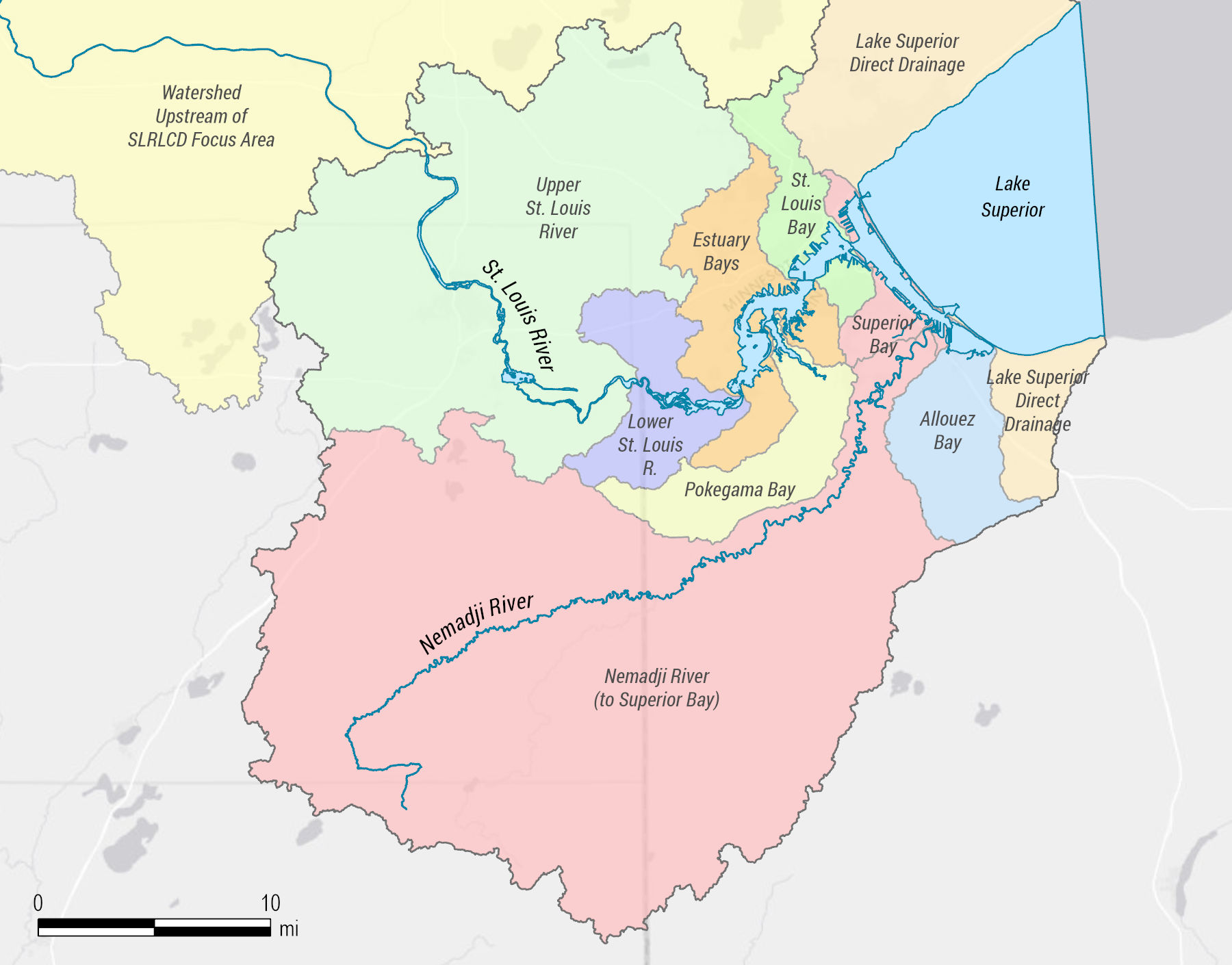
The Lake Superior Headwaters Sustainability Partnership (Headwaters Partnership) was created in 2021 and currently connects over 80 individuals from 30 different agencies, organizations, local governments, and tribal entities to protect, restore, and steward the Headwaters Partnership region in the St. Louis River watershed with an overarching vision for a thriving estuary landscape and community. The Headwaters Partnership region encompasses 1,020 square miles in Minnesota and Wisconsin and coincides with the U.S. Environmental Protection Agency-designated Area of Concern (AOC) boundary for the St. Louis River. Nine geographic zones are defined within the region based loosely on HUC-12 Watersheds with minor modifications to group areas with similar natural resources or cultural features.
Headwaters Partnership Region:
- Birds
- Brook Trout Streams
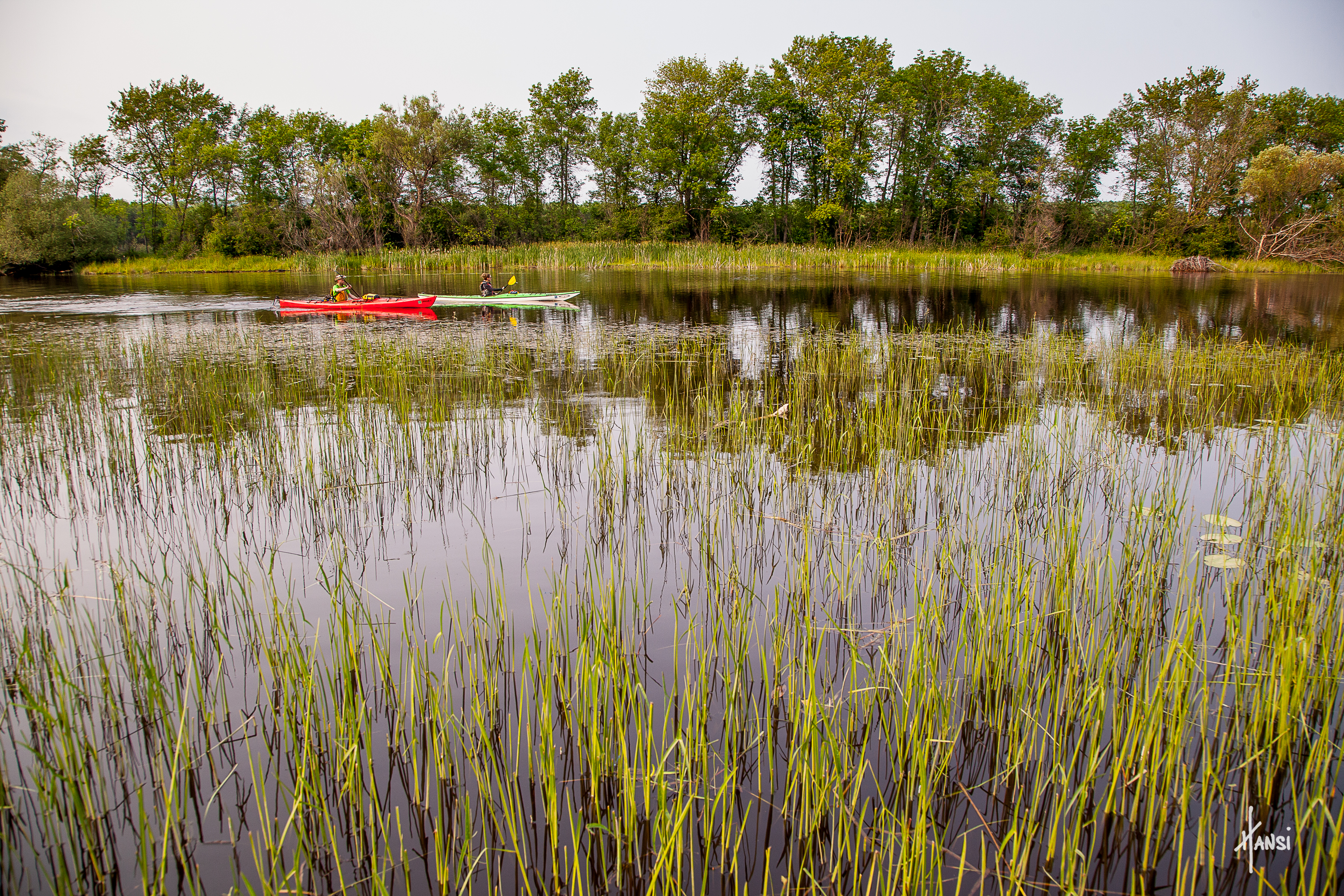
- Coastal Wetlands
- Community
- Dredge Material Management
- Hydrologic Connectivity
- Invasive Species
- Sturgeon
- Terrestrial Habitat Connectivity
- Water Quality
- Wild Rice
Our Priorities
Add your voice for conservation in the St. Louis River estuary!
Join us for these upcoming events!