Resource Library
Click on an icon below or scroll down to learn more about each resource, or use the links to access the resources directly.

Headwaters Partnership Mapping Tool
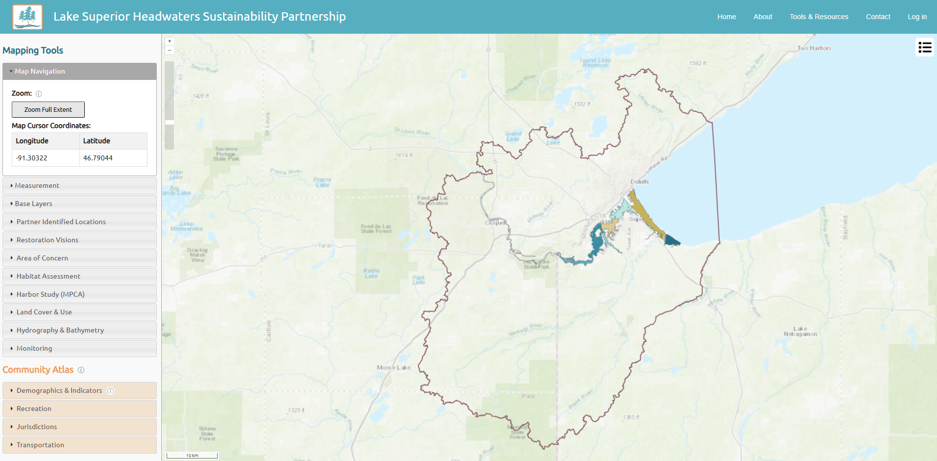
The Headwaters Partnership Mapping Tool serves as a resource for planning, research, project development, and community engagement within the St Louis River estuary landscape. Partners may request datasets be added to the Mapping Tool.

Landscape Stewardship Vision
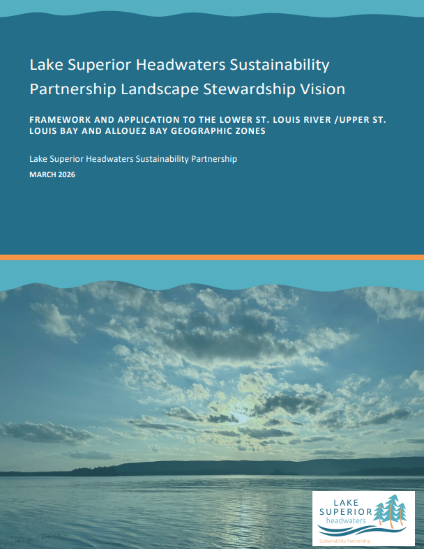
The Landscape Stewardship Vision was created in 2023–2026 through a process led by the Headwaters Partnership to focus capacity, tools, information, and collective learning within three areas in the St. Louis River estuary. Over 70 active participants were involved in its development.
The visioning process focused on the Lower St Louis River, Upper St Louis Bay, and Allouez Bay geographic zones. The spatial scale of a geographic zone generally includes multiple tributary streams and a significant portion of the St. Louis River estuary. Important areas may be identified within each geographic zone where synergies exist between community and natural resource priorities. For these areas, large site concept plans or watershed plans may be developed, such as was done for the Allouez Bay Restoration Vision.
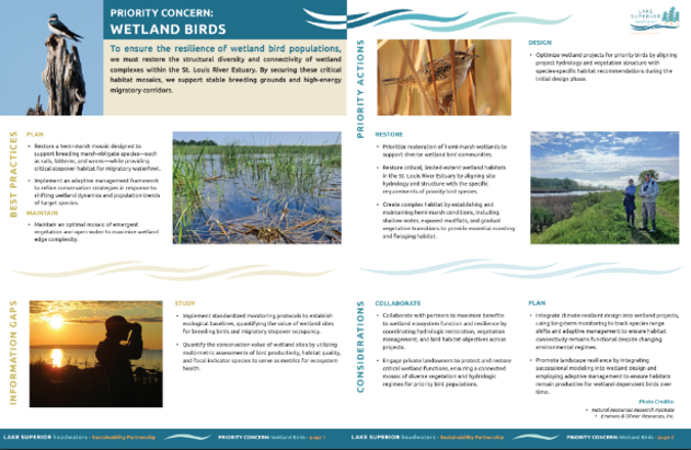
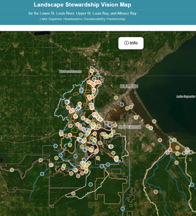
The vision and tools reflect information generated by partners in priority resource-focused teams, during this visioning process. The tools are adaptable and can be used as resources for collaboration, to drive future work, to emphasize the need for additional funding resources, and to implement or prioritize projects. The tools are tied together with broad level stewardship guidelines and detailed on-the-ground level information.
We invite you to explore the components of the Vision:
- The Landscape Stewardship Vision Document describes the visioning process, uses of the vision, ways to prioritize, descriptions of the geographic areas, and community values and uses
- An Interactive Vision Map focuses on key features based on priority concerns and tied to Stewardship Guidelines. Case studies to aid in using the interactive map can be found here (link coming soon)
- Shareable Stewardship Guidelines Illustration sheets (link coming soon) detail best practices, priority actions, information gaps, and considerations for each priority concern
- Matrices (link coming soon) contain printable tables of local information found in the Interactive Vision Map
- A Resource Library (link coming soon) contains plans, reports, and datasets organized by Priority Concern
- Partners who collaborated in the visioning process can be found here (link coming soon)
Allouez Bay Restoration Vision
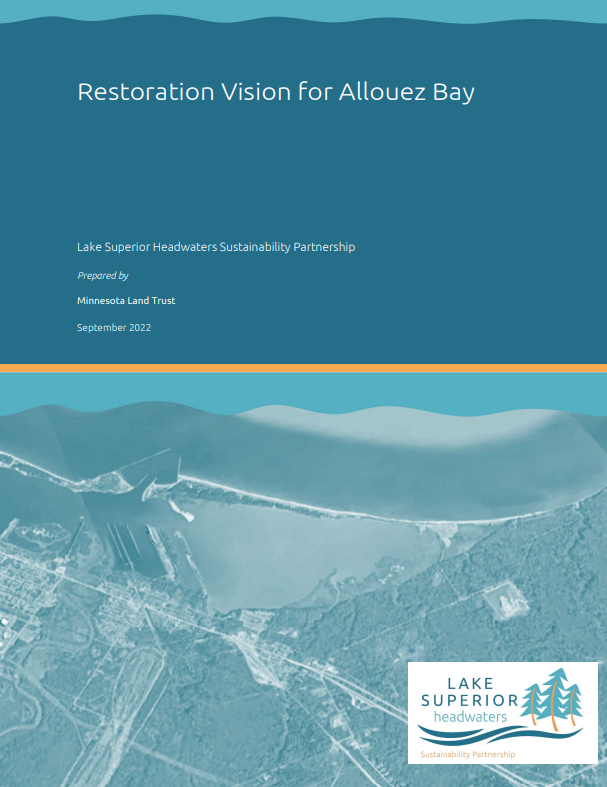
The Allouez Bay geographic zone is located in the St. Louis River estuary on the east side of the Headwaters Partnership region adjacent to the Allouez and Itasca neighborhoods of Superior, Wisconsin. Its contributing watershed is approximately 20,000 acres in size, with two main tributaries, Bear and Bluff Creeks. Allouez Bay is connected to the St. Louis River and partially separated from Lake Superior by the 3-mile-long Wisconsin Point coastal barrier spit. Allouez Bay is influenced by the Nemadji River which enters the estuary just to the north of the bay, as well as Lake Superior seiche and storm surge. Allouez Bay includes a matrix of wetlands and upland forests with land stewarded by the City of Superior, Douglas County, and the Fond du Lac Band of Lake Superior Ojibwe. Wisconsin Point is ancestral territory of Ojibwe people and included within the 1842 Ceded Territory.
The Allouez Bay Restoration Vision is a concept level plan developed in 2021–2022 with the intent to establish a partner- and community-supported vision for restoration on a meso-scale (on-the-ground level) such that future projects would contribute to the achievement of the Restoration Vision over time.

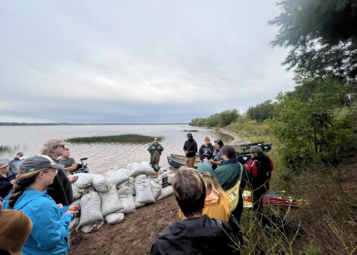
The Restoration Vision was developed based on information gathered from a large group of partners in a series of team meetings and workshops to discuss available information, current conditions, and information gaps. An understanding of community values was learned through outreach efforts conducted by the Lake Superior National Estuarine Research Reserve (link coming soon) and later expanded in 2025 during a series of events held by the St. Louis River Alliance.
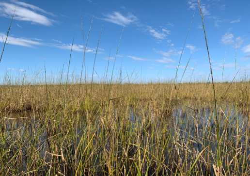
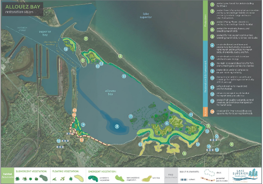
The Restoration Vision image (link coming soon) was created based on conversations during the visioning process and has been used extensively over the years to drive collaborative work in Allouez Bay and Wisconsin Point. Current projects in the area focus on marsh bird habitat restoration, manoomin (wild rice) restoration, resiliency of Wisconsin Point, and improving neighborhood access to Allouez Bay. More information on current projects and events related to the Restoration Vision can be found at the St. Louis River Alliance website (link coming soon).
- Allouez Bay Restoration Vision
- Restoration Vision Image (link coming soon)
- Community Values and Experiences at Allouez Bay
Community Engagement
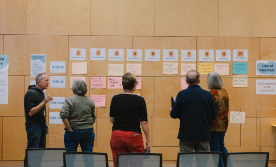
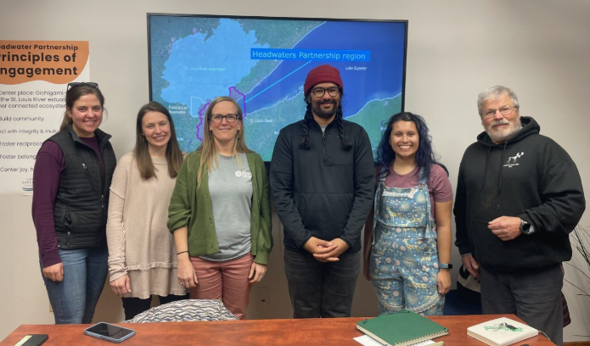
The Headwaters Partnership affirms a shared commitment to building relationships with communities and supporting engagement that strengthens stewardship across the region. The Framework, Toolkit, and Community Atlas reflect the Partnership's learning from 2023 to 2026 through collaborative work, community conversations, and the guidance of the Headwaters Partnership Community Council.
The Framework document captures the values, commitments, and practices partners and community leaders have identified as essential for meaningful engagement. It provides a common foundation for both theoretical and practical considerations that helps partners coordinate engagement efforts that are responsive to community priorities and needs.
The Toolkit is part of the Headwaters Partnership's efforts to support partners' capacities for effective community engagement in conservation work. It is designed to help project managers, organizations, and agencies create engagement plans that guide equitable community involvement to foster more meaningful and successful conservation efforts and to celebrate the strengths of communities. The toolkit is set up in a series of adaptable and flexible worksheets for ease in creating a community engagement plan.

Community Atlas
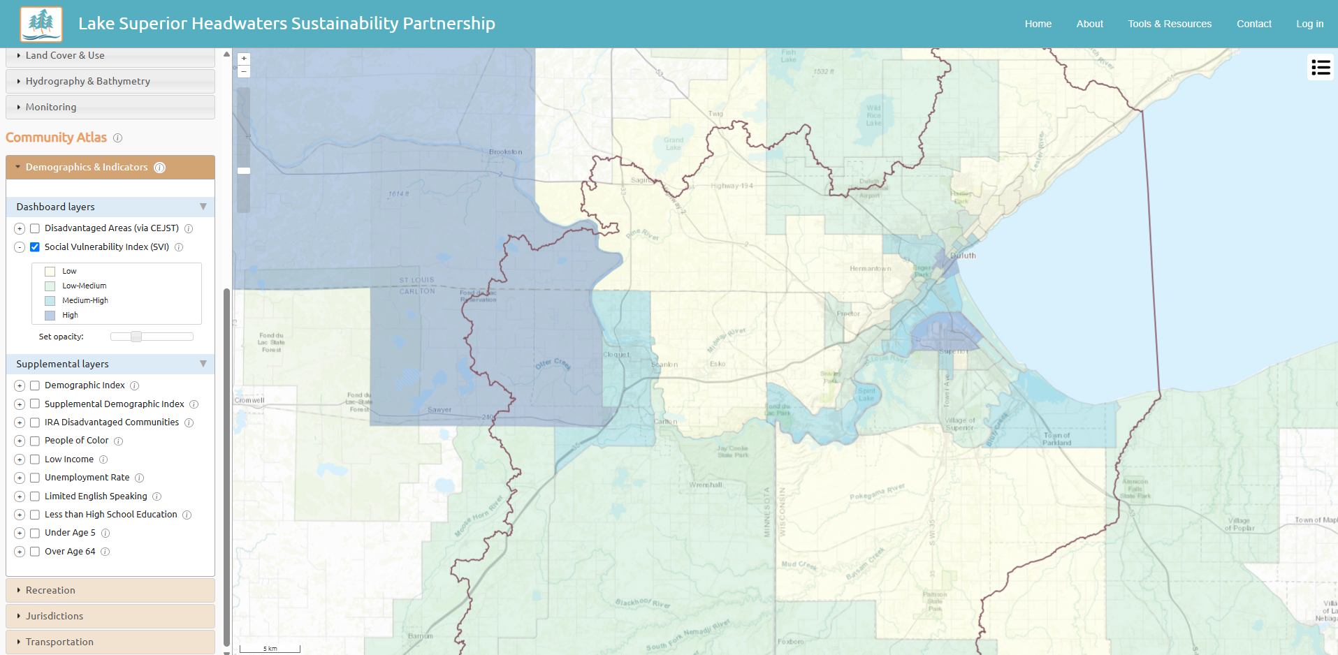
The Community Atlas is housed within the Headwaters Partnership Mapping Tool and contains a set of indicators and layers for learning more about communities within a specific area. Explore the case studies and training videos to learn more about how to use the Community Atlas.
The indicators in the Community Atlas represents a starting point for understanding communities. After using the Atlas, ground truth what you've learned by connecting with local community leaders and organizations to hear what matters to a community and what programs are already in place. Using an approach to understanding communities through the lens of gifts and strengths, and working together with community organizations and members to discover traits that make the community unique, will strengthen relationships and ultimately provide better project outcomes.

Habitat Map
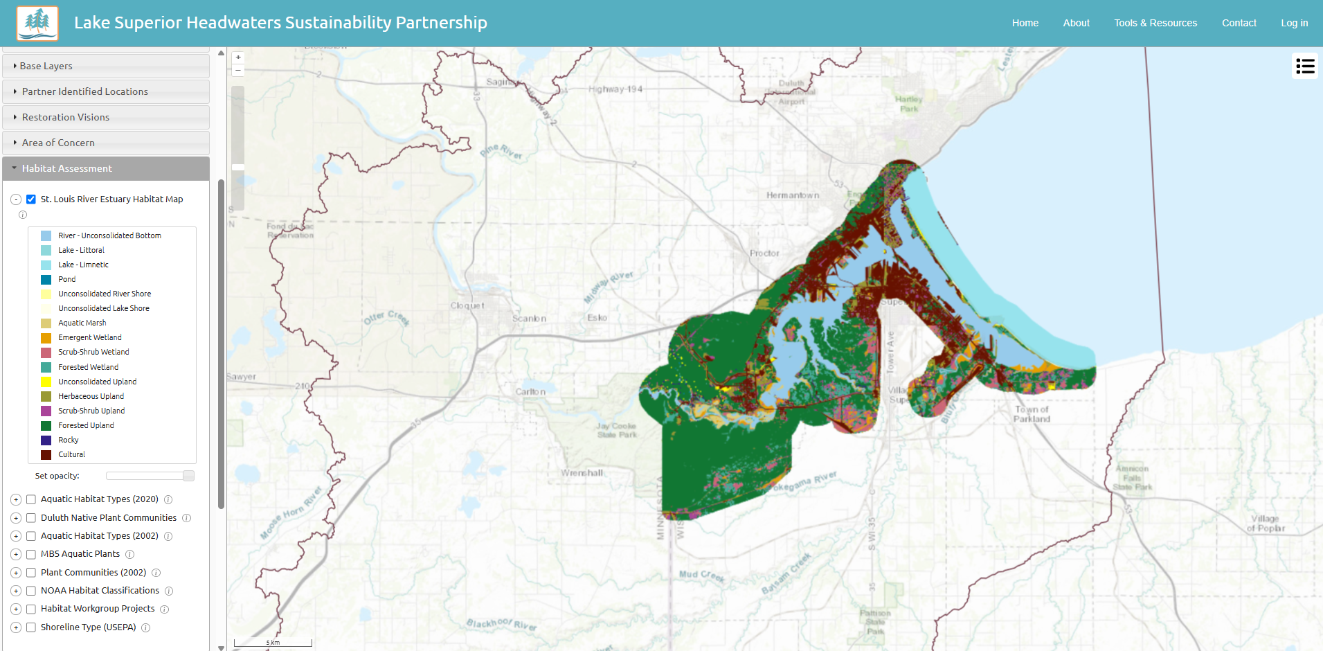
Lake Superior Reserve, the Wisconsin State Cartographer's Office, and Fond du Lac Tribal and Community College completed a high-resolution habitat map of the lower St. Louis River in 2025 showing land cover and dominant species. The map can be used to plan and evaluate conservation projects and to help researchers better understand how the dynamic freshwater ecosystem of the St. Louis River is responding to climate change, changing lake levels, and restoration efforts. This map can be viewed through the Headwaters Partnership Mapping Tool.
- View habitat map layer in Mapping Tool
- Download Habitat Map Poster (link coming soon)
- 2026 Lower St Louis River Habitat Plan (link coming soon)

Metrics Dashboard
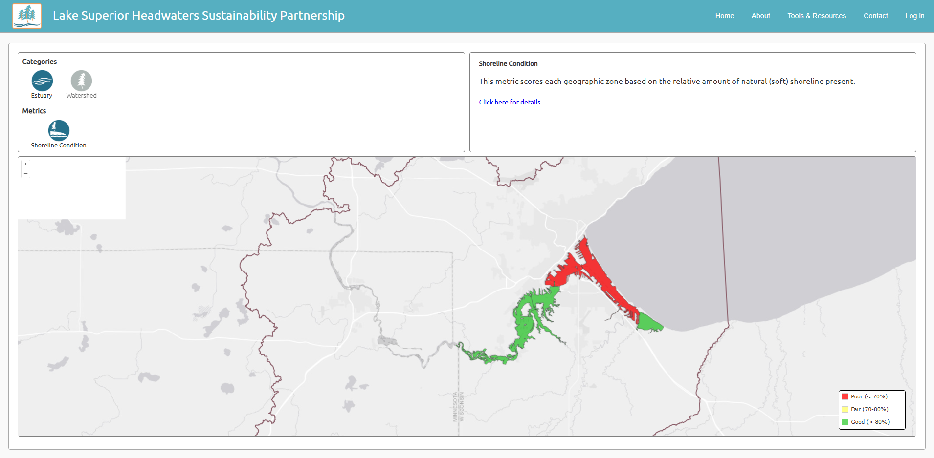
In 2021, the Headwaters Partnership developed a prototype dashboard of ecosystem metrics for the Partnership's planning region. The Metrics Dashboard displays three watershed impacts and climate trends indicators from the State of the Great Lakes 2017 Technical Report: hardened shoreline, land cover, and forest cover. The dashboard was developed as a proof-of-concept for how local and Great Lakes-wide indicators might support State of the Estuary Landscape reporting.
Partnership Documents
The following documents provide background information on the Headwaters Partnership.
- Scoping Report
- Goals & Objectives for the Twelve Priority Concerns
- Memorandum of Understanding
- Headwaters Partnership Fact Sheet (link coming soon)
- Communications Strategy